Who's on Line
We have 6 guests and no members online
The task of peaking this will be updated on the bottom. Google map will be updated to longest trek.
Always wanted to do this peak. I read from Montero Palms its a 5 hr trip. That is putting the foot to the pedal. No trails to follow. Plenty of large boulder gardens with a lot of near vertical climbs.
But then I was carrying a 35lb back pack also....No I didnt complete to Jacumba Peak! I will revisit!
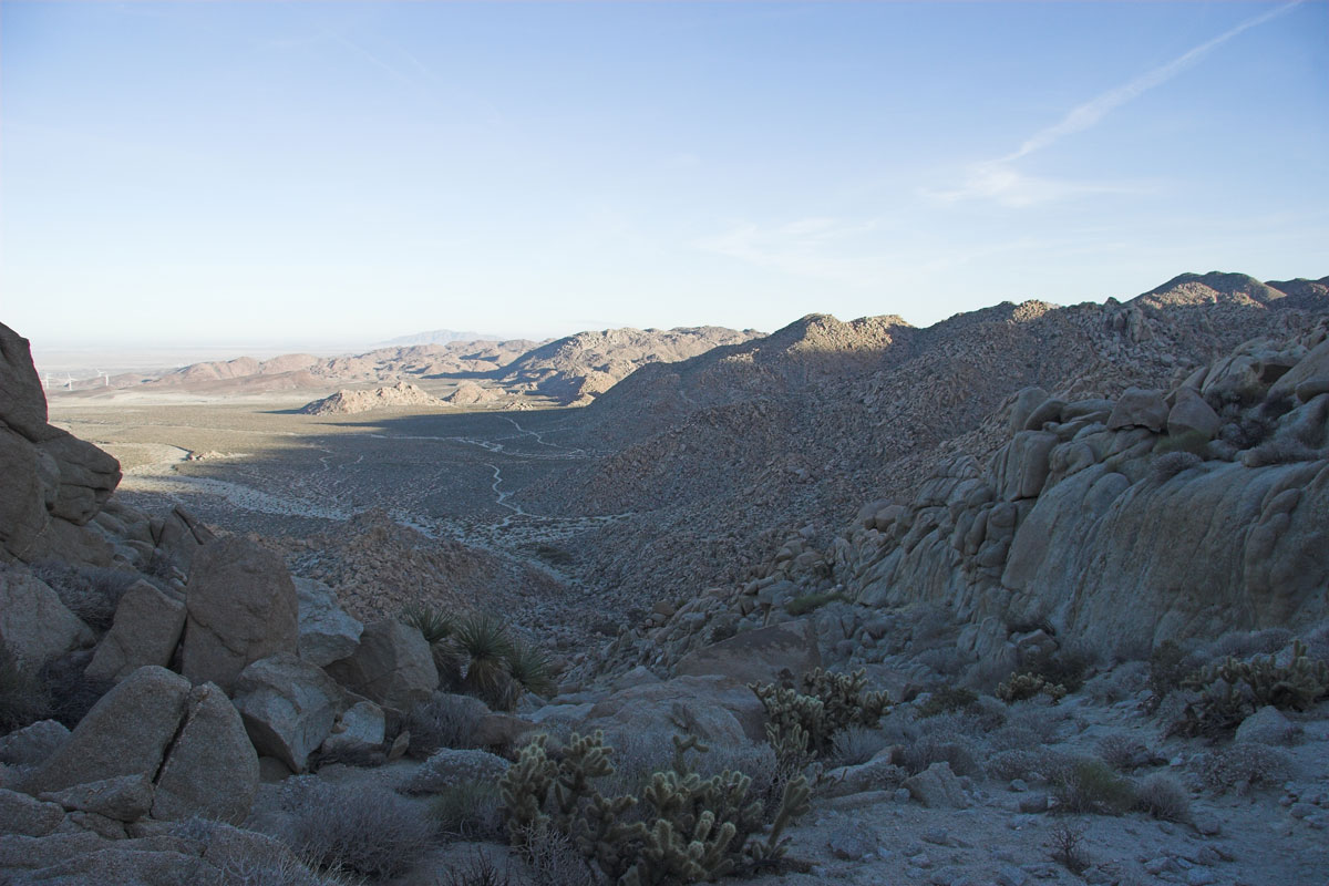
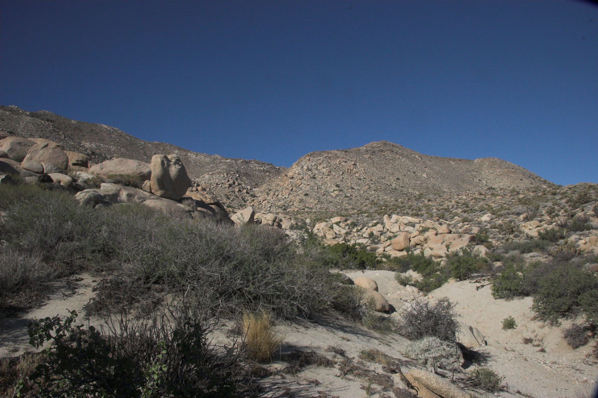
I started out at Montero Palms about 7am and took the south canyon. That canyon is a challenge in itself. About 3/4 mile in, you need to go up. Really straight up.
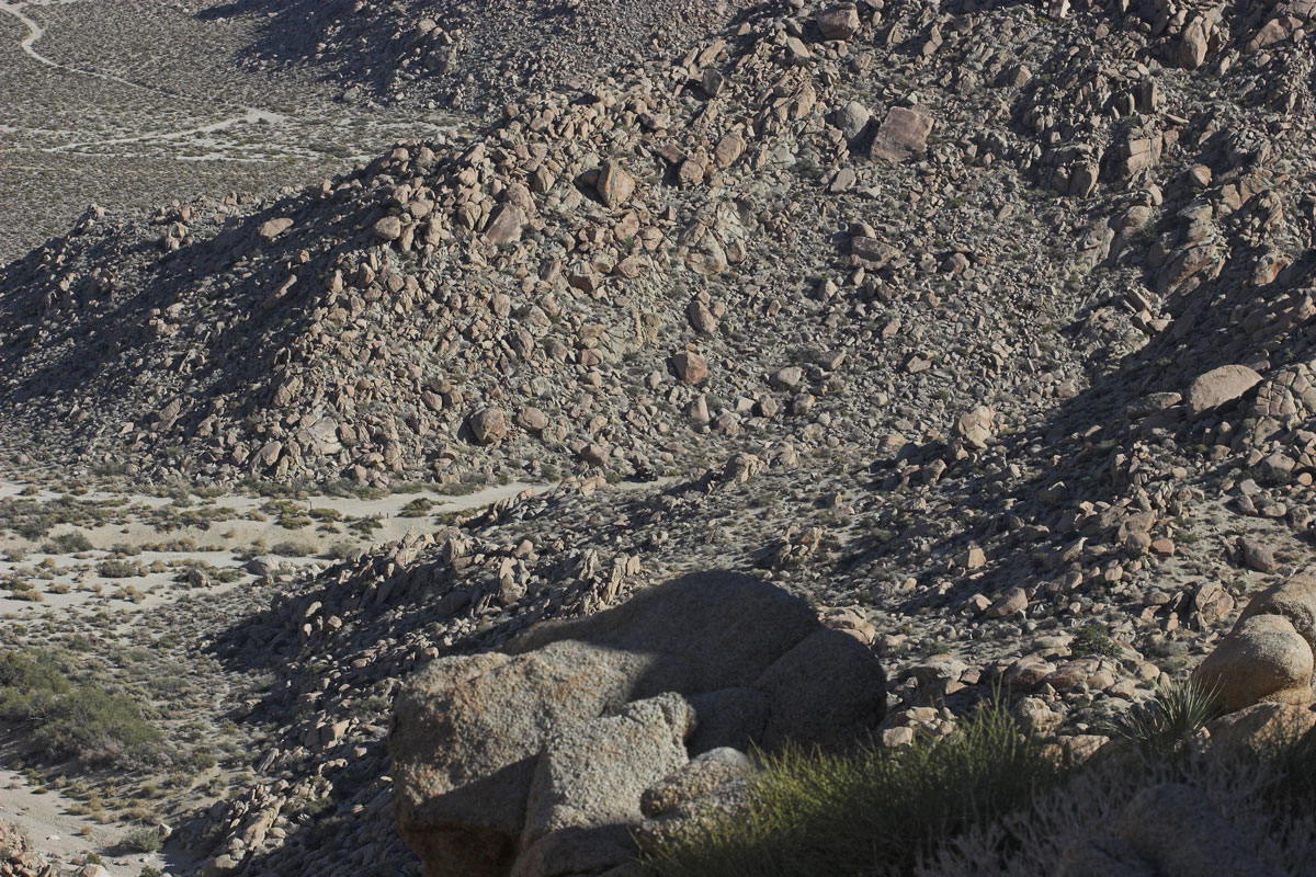
Boulders everywhere. Fairly hard to navigate through. Climb out of this boulder canyon is about 600ft gain.

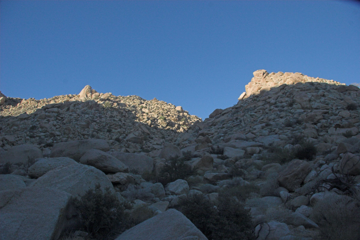

Now we need to go up here

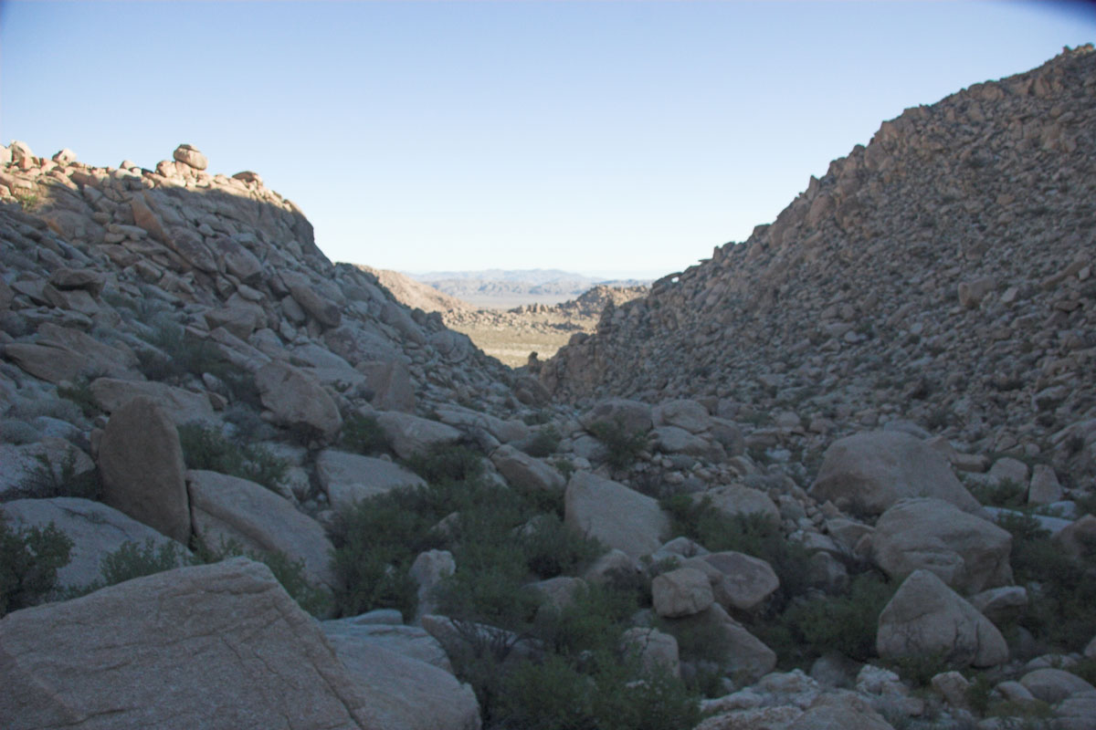
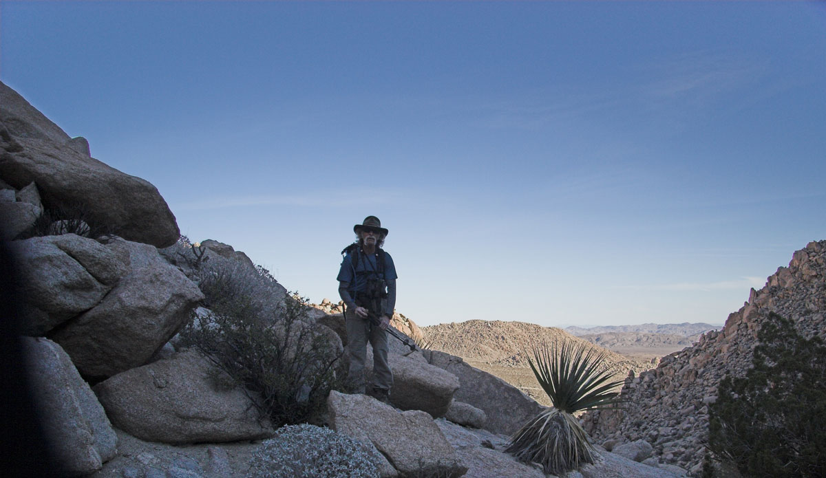
Finally on top looking down

At the top here is the new direction is:

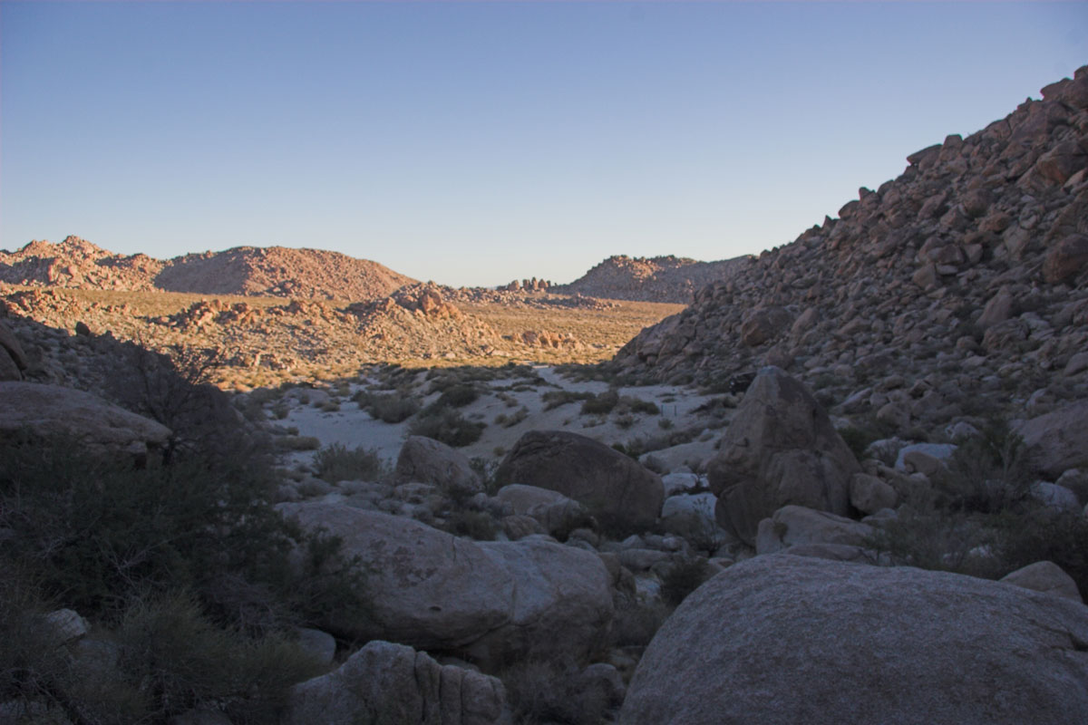
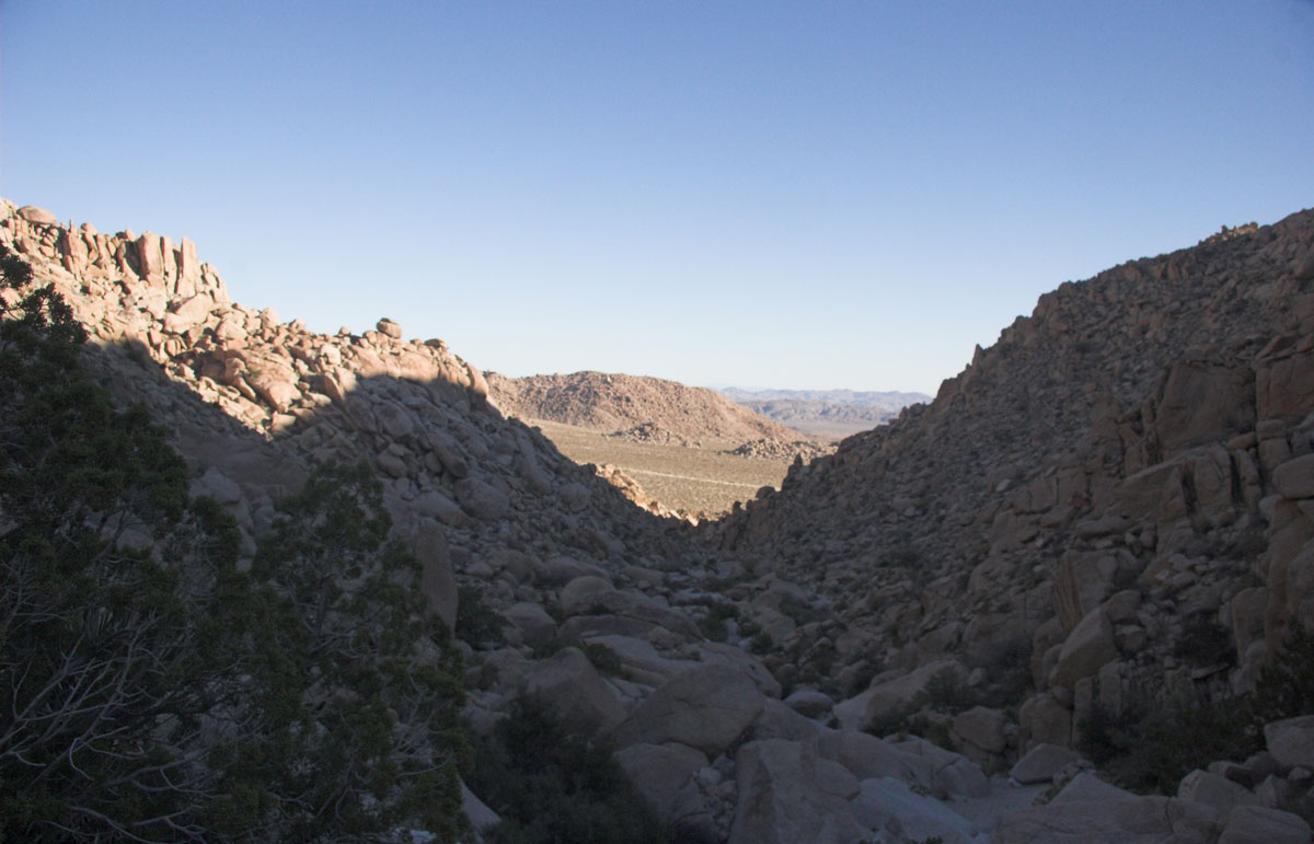
Flat spot area, once you get out of the canyon. Theres a flat spot area. About a mile on easy packing. This will take you to the base of the first peak.

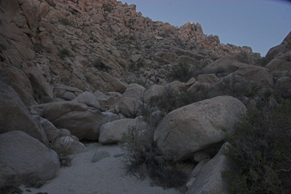
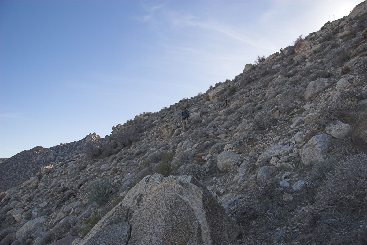
Well now at the base of the worst climb. This ended up sometime hands and knees. Really steep. 800ft elevation...if you can get all up!
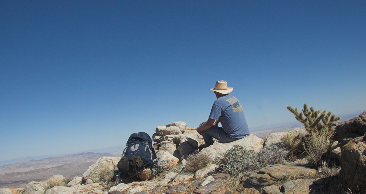
Less than 100 ft from the crest of the first peak, I ran out of time. Had lunch and will need to revisit this one later.

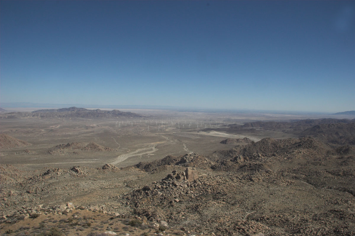
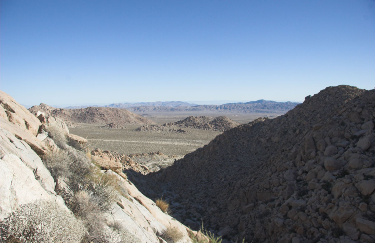
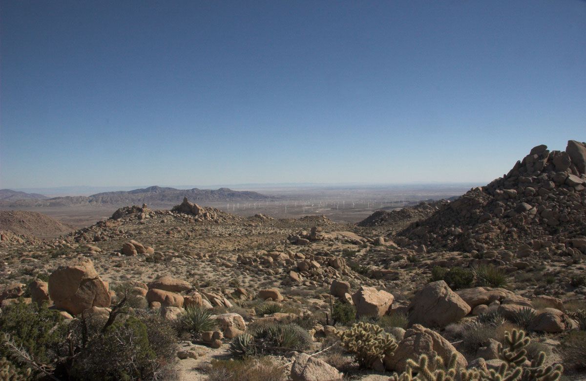
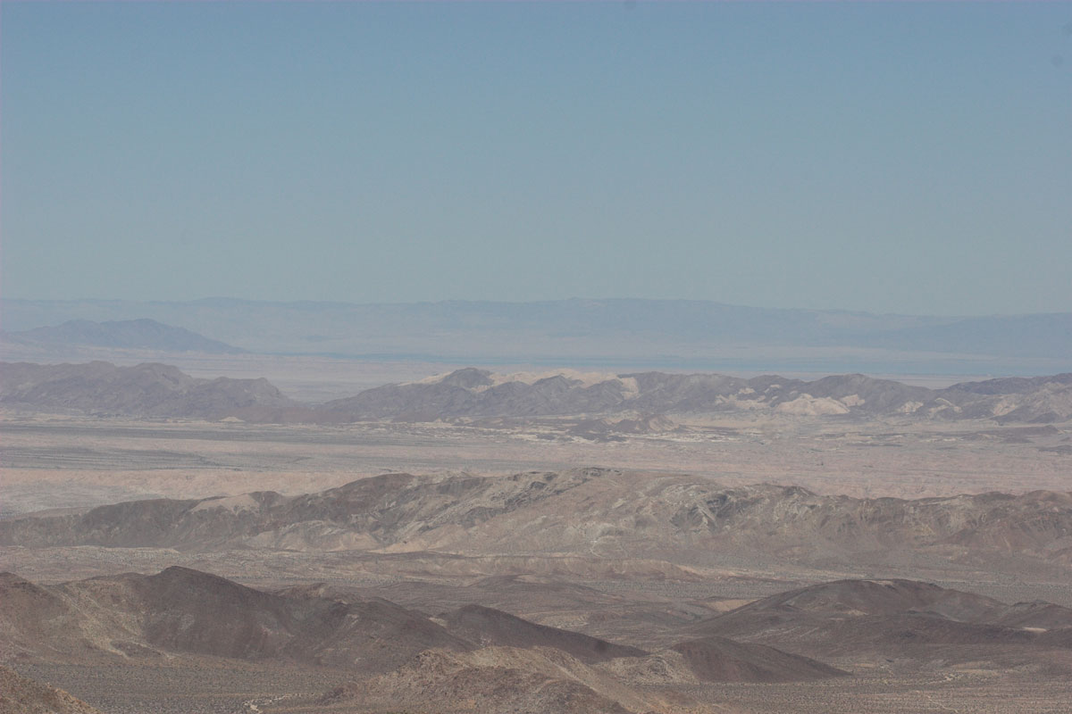
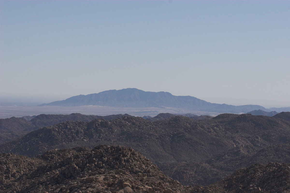
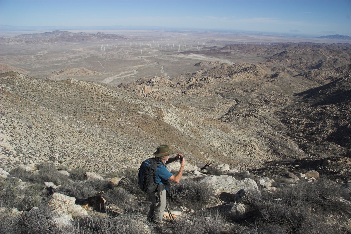
Some other shots from this point. McCain area, Salton Sea, Mexico
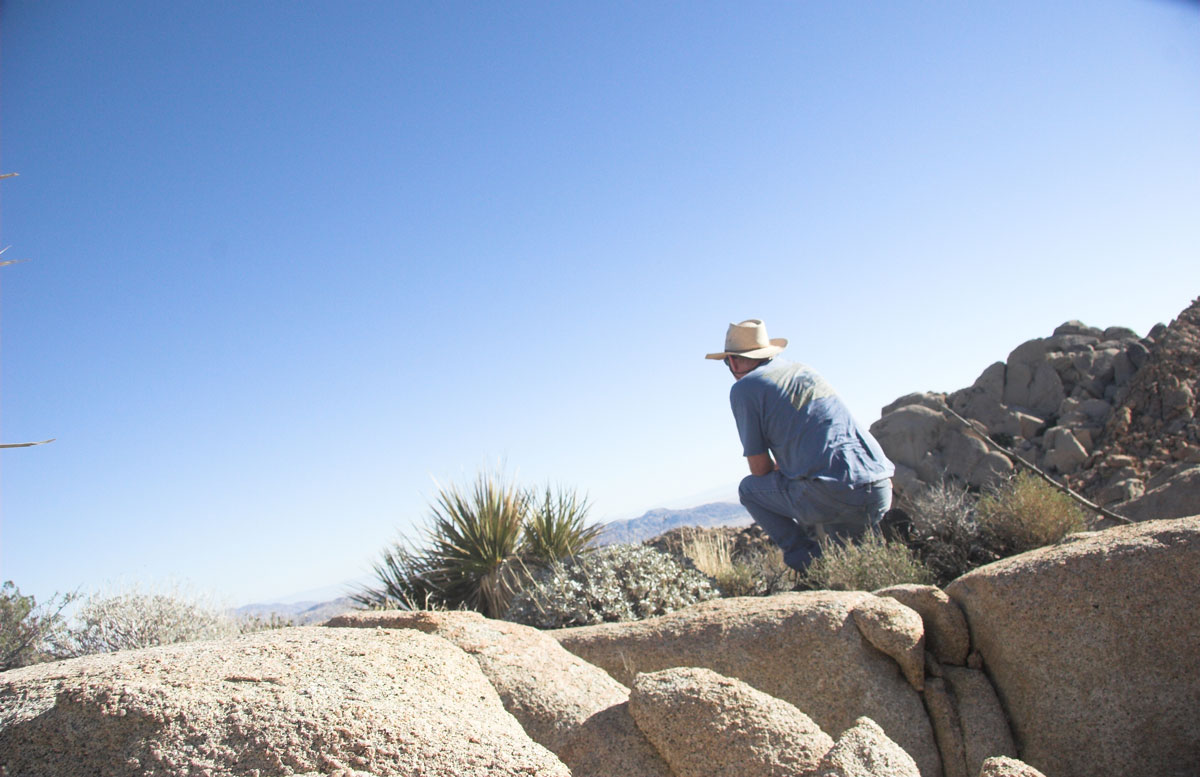
Yup Me tuckered out and no mo time left.
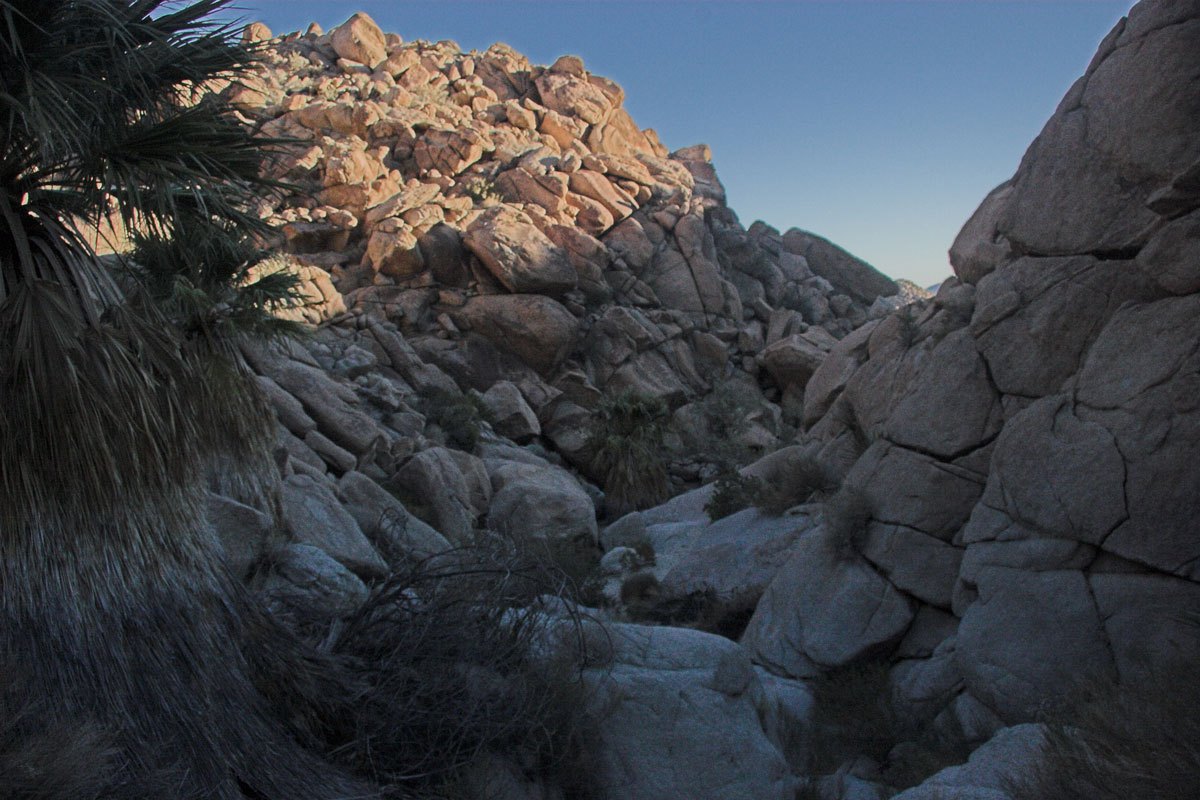
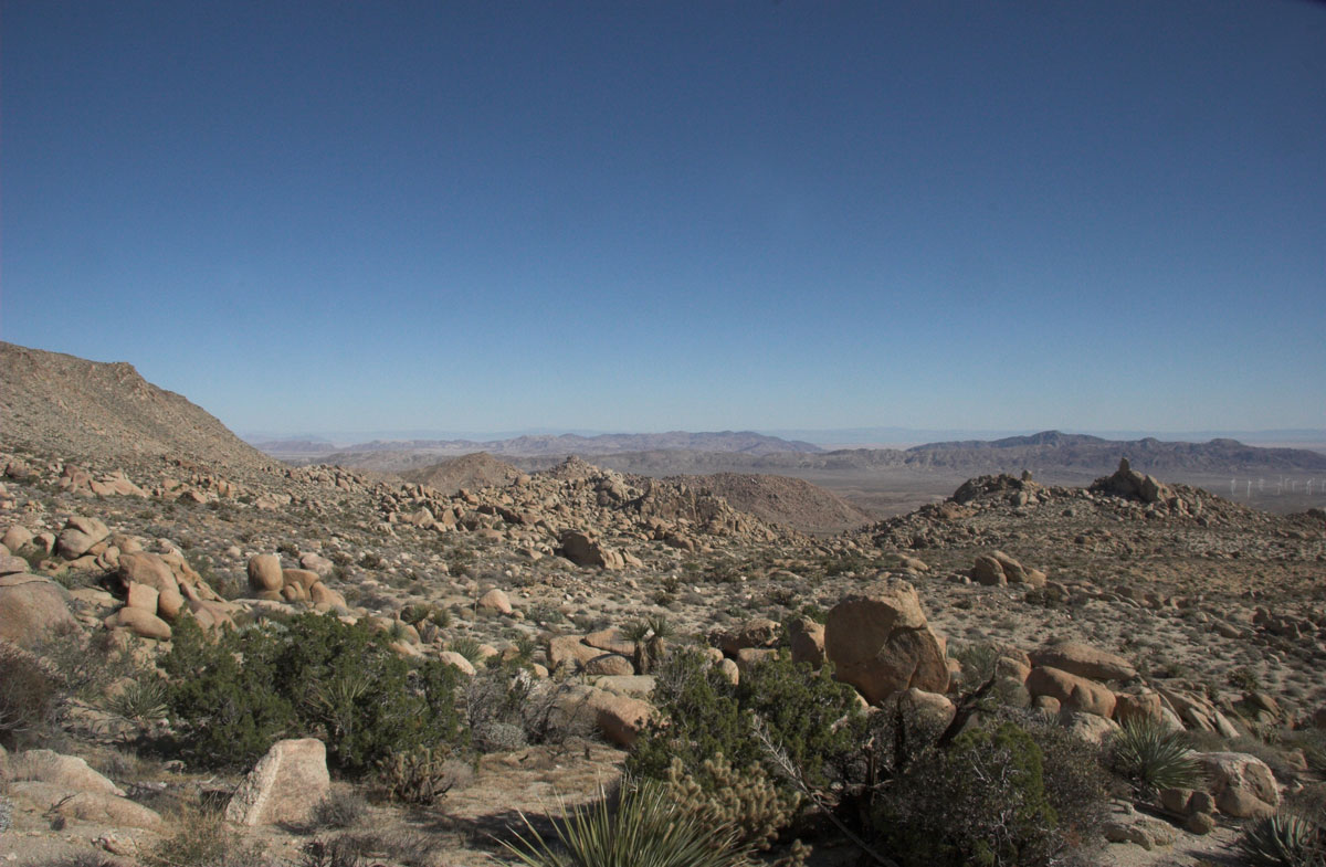
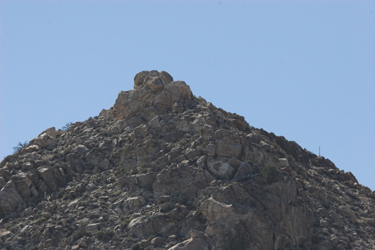
The Jacumba Ridge. Theres some big boulders also mixed in. Perhaps there is a freeway of some trail up on top.

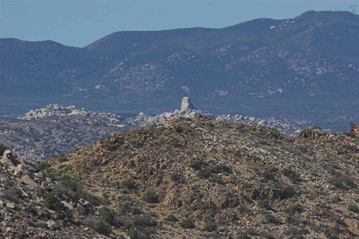
Heres a close up of the Jacumba Peak. As you see full of boulders.
Theres some good stuff back in here. Some fun stuff to explore. I ended up going down and exiting the Goat Canyon/ Montero Palms. I didn't go into the canyon
But took the one a bit north to stay out of the boulders.
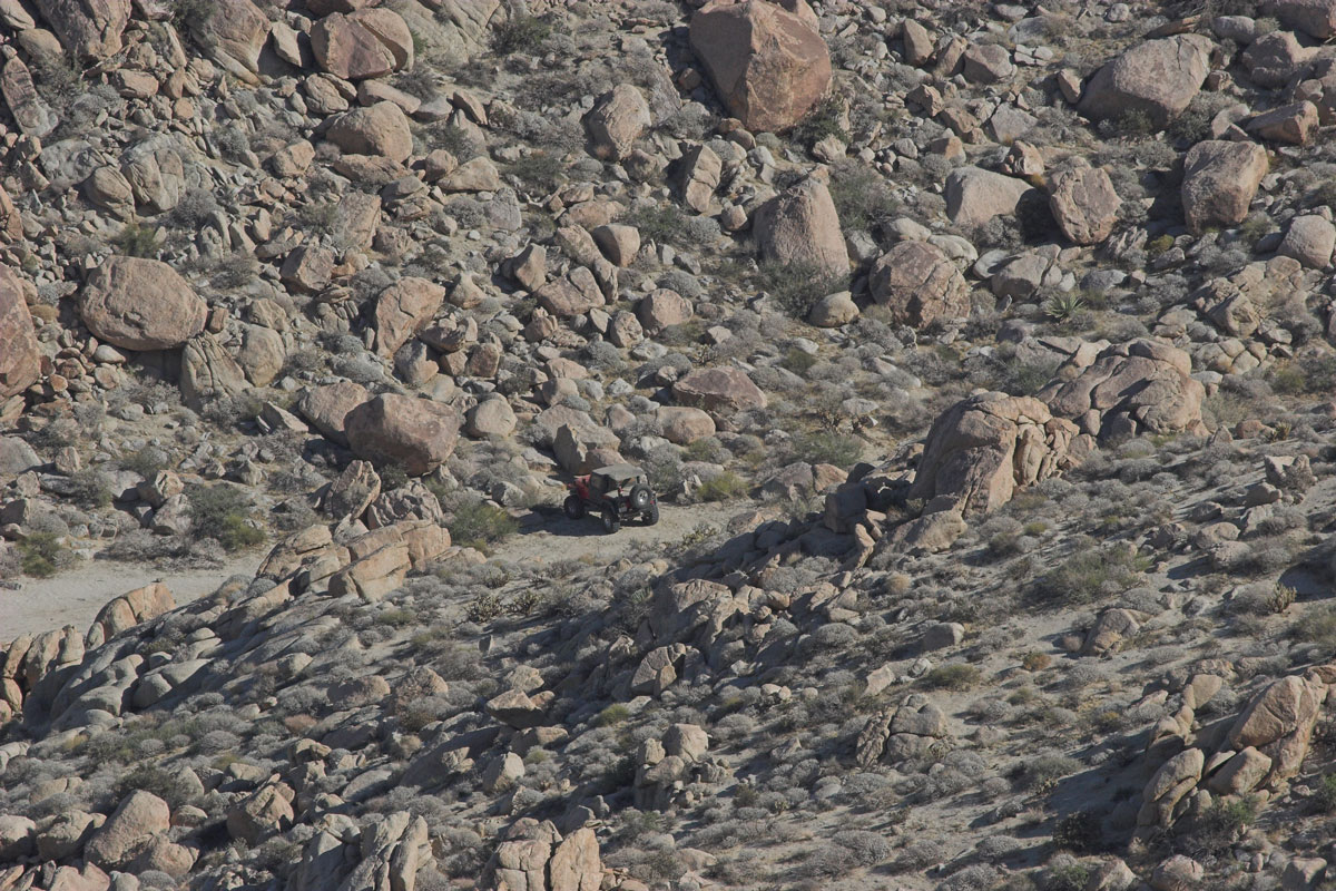
My Jeep is down there..almost home
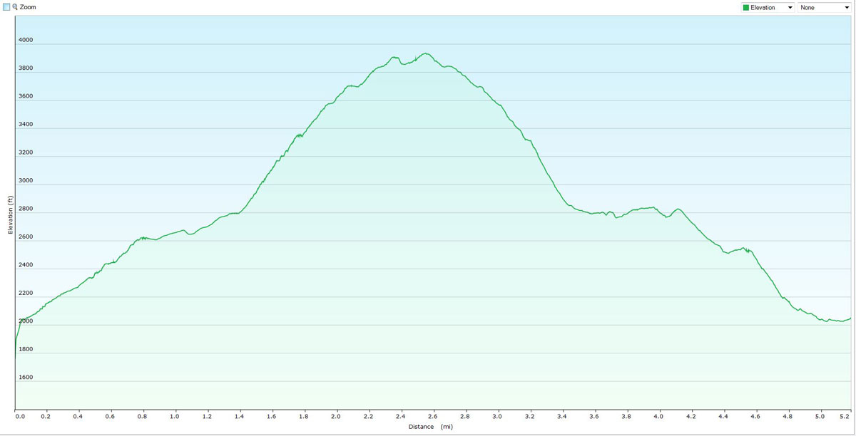
Elevation Graph, total time 7 hrs. Old and slow. Need some improvement!

We started the trail at 8:00am. Jack a long time friend and seasoned hiker came along. It didn't start well, Coming out of the boulder canyon I got sick. Only for about 15 minutes .
It was passed and we continued the Journey. Jack here was carrying a 40 lb pack. I don't know how he did it. We didn't crest ran out of time.

We got to the crest but needed to go around this boulder pile on the top, To the left or to the right, Chose your poison, we went to the left.
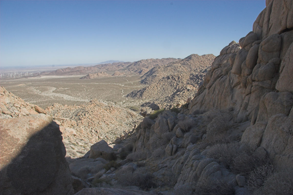
The boulder hopping took what time we had left. We got about 2/3rd around and called it a day. Picture on the left you can see the Jacumba peak in
Background, about 1/2 mile away with 600 feet more elevation.


From this picture you can see how steep the base is, about 1/4 mile of this going up.It will put the pucker factor in your legs.
New Elevation chart
Ok Almost back but but I lost my keys! I called Rick and he came out to rescue us. Only lost about 1.5 hrs. Thanks a lot Rick!